Detailed foreign street maps or rural areas are a challenge to locate online. So far, Google Maps hasn't been everywhere!
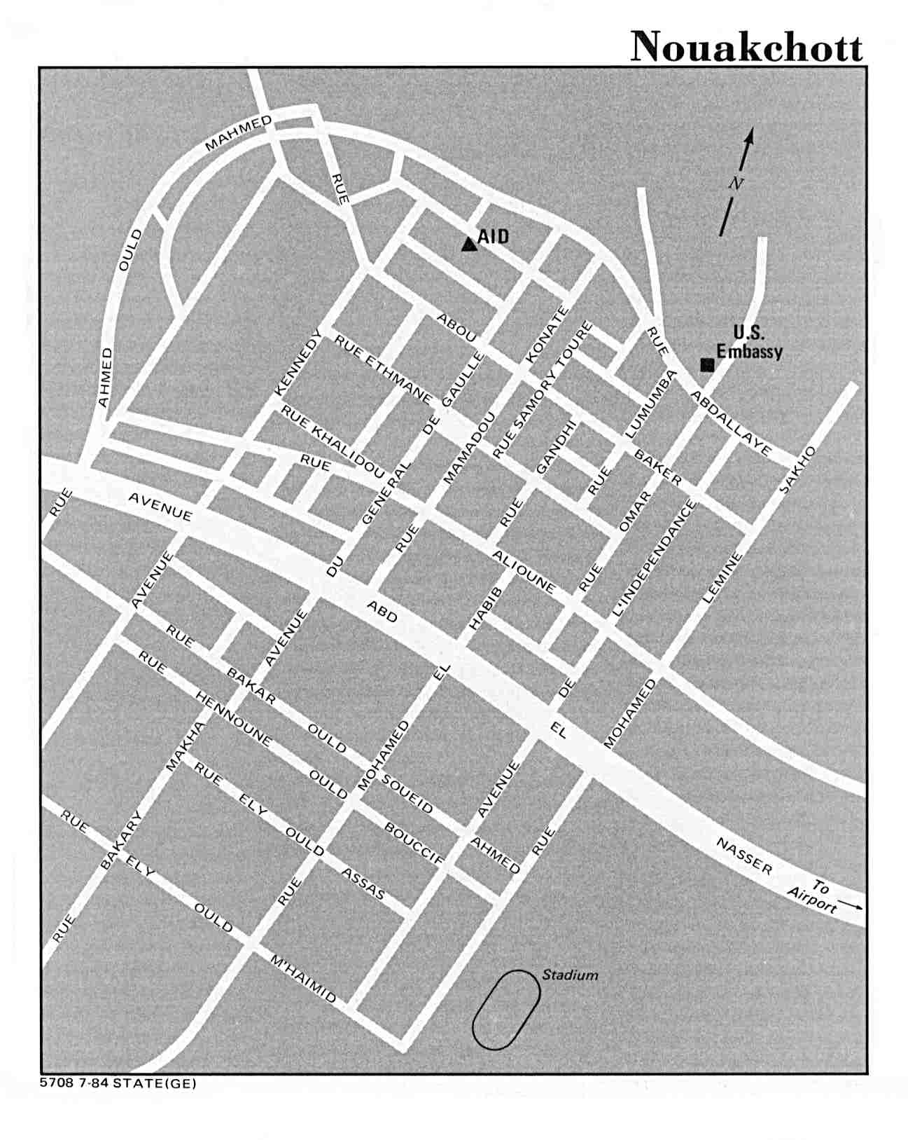
- World City Map Collection (University of Texas Map Collection) - mostly older maps, but some incredibly detailed from U.S. government imaging agencies. See this 1984 map Nouakchott, Mauritania that even includes street names.
- Country & Regional Map pages (also University of Texas) - provides links to country specific maps, including ethnic groups, topographical, political, health, and much more.
- Openstreetmap - a crowdsourced database (built with volunteers) with useful street level maps. Coverage varies greatly depending on location. Note that street names are in local language.
- Refworld - Refworld recently launched a new website, but you can browse and search the maps at the legacy Refworld which has various U.N. maps (mainly from UNHCR). Usually no street level info, but good rural maps and refugee camp maps. Use the tabs across the top and select "Country Information" and then "Maps." Use the filter search box to limit to a particular country.
- United Nations Geospatial Information Section
Some useful maps with detailed town names.
